&w=3840&q=75)
&w=3840&q=75)
&w=3840&q=75)
&w=3840&q=75)
&w=3840&q=75)
&w=3840&q=75)
&w=3840&q=75)
&w=3840&q=75)

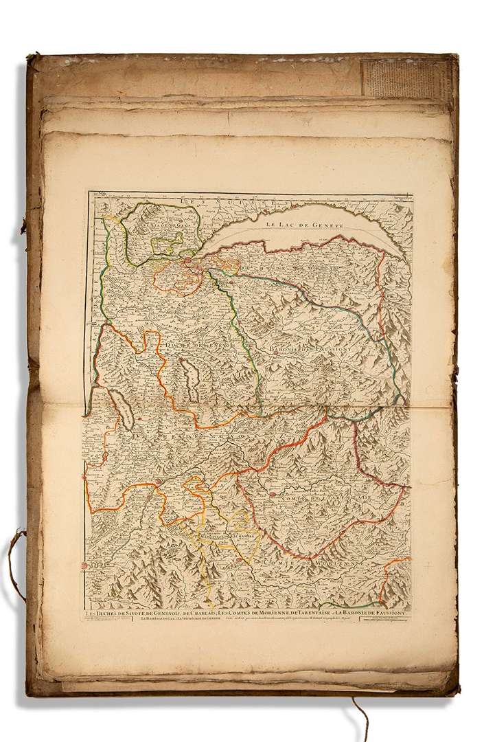
[GÉOGRAPHIE].
Factitious collection of 33 maps and 2 city plans (Bordeaux and Paris).
18th century.
33 engraved maps of various sizes, most of them with colored borders, preserved in sheets in a rigid vellum portfolio of the period (label of the paper merchant Niodot, au Chant de l'Alouette).
Details: France (3 general maps and a map of Gironde)| Europe: 25 maps including Russia and Turkey| 4 maps from Jaillot's Atlas (Savoy & Piedmont, Briançonnais, Piedmont & Nice, Duchy of Savoy & Geneva)| 2 city maps (Bordeaux and Paris).
(Portfolio worn, some wetness).